Local-specific
Redwood City's Flood Risk: Why Water Damage Is a Growing Concern
Roughly 34.5% of properties here carry measurable flood risk. The exposure is not evenly spread, and knowing your version of it matters.
The number, and what it actually means
Roughly 34.5% of properties in San Mateo County carry measurable flood risk, and Redwood City is well represented in that figure. For a city that does not think of itself as flood country, that is a striking proportion.
It is worth being precise about what "flood risk" means, because it is not one thing. It covers tidal and bay flooding, creek and drainage flooding, and hillside runoff — three different mechanisms with different warning times, different damage patterns and, importantly, different insurance implications.
It also does not mean a third of homes will flood. It means a third have a quantifiable probability of flooding over a period, and that probability is trending upward rather than downward.
Mechanism one: the bay

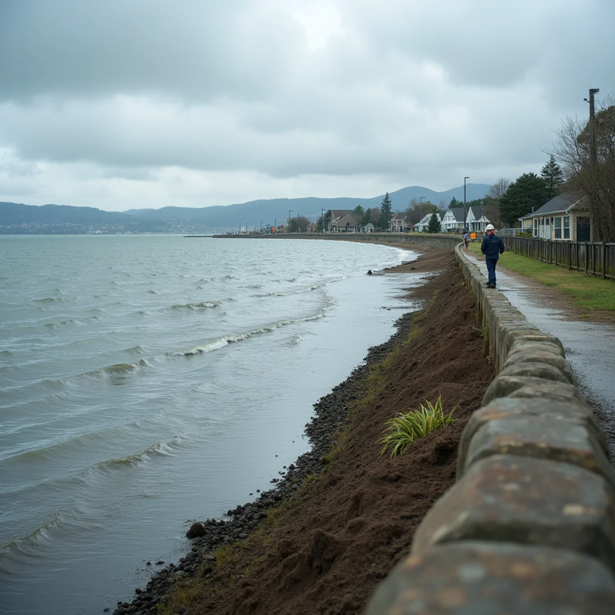
Redwood City has a substantial bayfront, and a meaningful share of its housing and industrial land sits on engineered bayfill at or near sea level. Redwood Shores is the clearest example — a planned lagoon community built on fill in the late 1960s and 70s, protected by levees and tide gates. The Seaport industrial area and the Bair Island corridor are similar.
Drainage in those areas works by discharging to the bay. When the bay is high, discharge slows or stops. So the highest-risk scenario is not simply heavy rain — it is heavy rain coinciding with a king tide, when storm water has nowhere to go and backs up through the system.
Sea level rise is making that overlap more frequent. The mechanism is not dramatic: it simply means the number of hours per year when the bay is too high to accept drainage keeps increasing. San Mateo County has been actively planning and investing around this, including levee improvements in neighbouring Foster City.
Mechanism two: creeks and storm drains
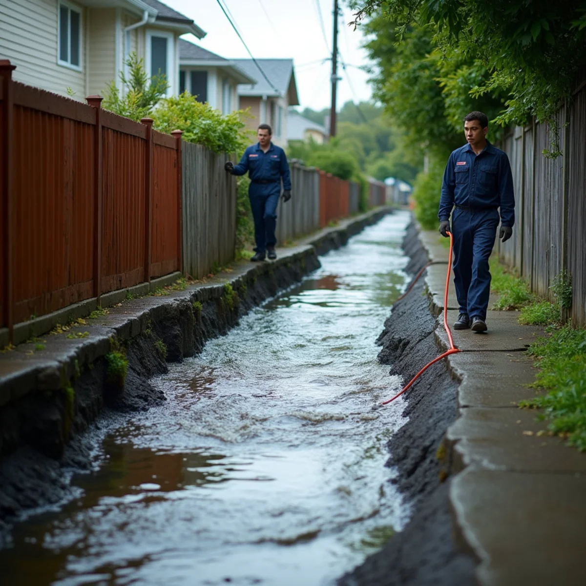
Redwood Creek and its branches run through parts of the city, including the southeast corner of the Mount Carmel area. These are narrow urban channels, which means they rise fast during an atmospheric river and fall fast afterwards.
The storm drain network is the other half of this. In an intense cell, low points pond quickly — the areas around Woodside Road and Veterans Boulevard are locally known for it — and once a drain is overwhelmed or blocked, surface water moves to whatever is downhill of it.
Properties affected by this mechanism are often nowhere near a flood zone boundary on a map, which surprises homeowners. Fast-moving urban runoff does not respect the intuition that flooding happens near water.
Mechanism three: hillside runoff
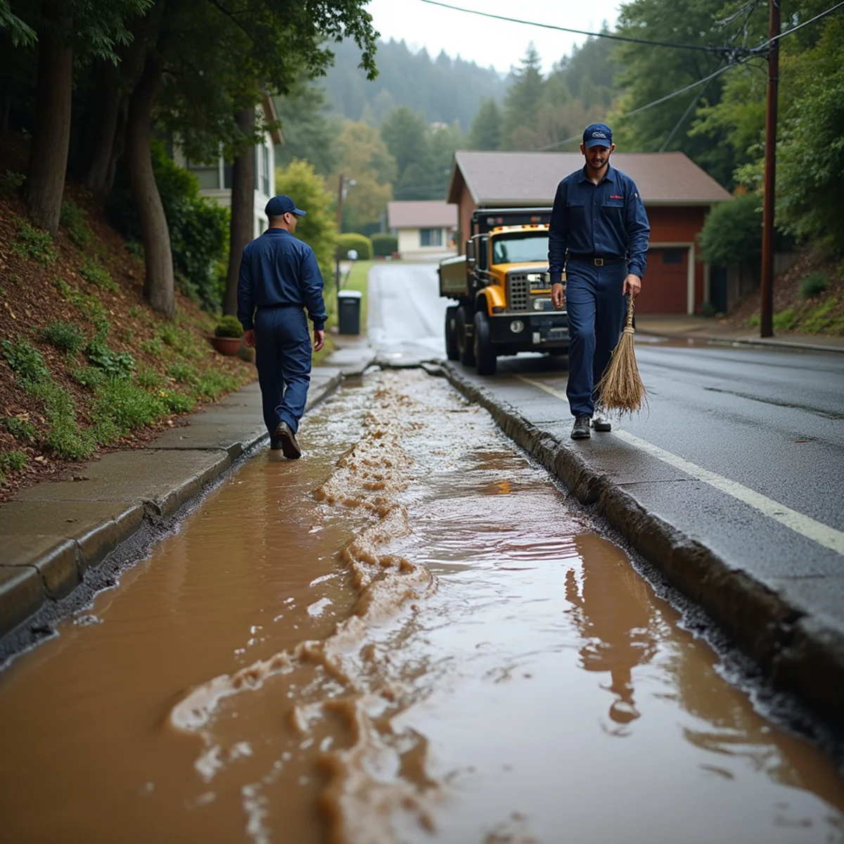
On the west side — Farm Hill, Emerald Lake Hills, the streets climbing toward Cañada College and Edgewood Park — the problem is sheet flow off slopes.
Water arrives fast, carries mud and debris, and enters at the lowest opening it finds: a garage at the bottom of a sloped driveway, a lightwell against the uphill wall, a foundation vent, or the lower level of a split-level home. It is usually over within an hour of the rain stopping, having already filled a garage.
Because it is brief, this mechanism is the most commonly under-treated. Homeowners squeegee the garage and assume it is handled, leaving wet drywall bases, bottom plates and insulation to grow mold over the following weeks.
Where the risk sits, neighbourhood by neighbourhood
Redwood Shores and the bayfront — Highest exposure. Bayfill at low elevation, high water table, levee and tide gate dependent drainage. Also the slowest-drying slabs in the city.
Seaport and Bair Island corridor — Industrial and commercial, low-lying, tidal influence, storm surge exposure.
Mount Carmel south-east edge — Redwood Creek branch concentrating runoff in a residential area.
Woodside Road and Veterans Boulevard low points — Rapid ponding in intense cells, affecting commercial frontage and ground-level entries.
Farm Hill, Emerald Lake Hills and the western slopes — Hillside runoff into garages, lightwells and lower levels rather than standing flood water.
Downtown and the flats — Lower direct flood exposure, but aging laterals that back up under storm inflow — a Category 3 problem rather than a flood one.
The insurance gap most homeowners have
This is the part that costs people real money. Standard California homeowners policies exclude flood — rising water from outside the building. Flood coverage is a separate policy, through the NFIP or a private carrier, and it typically has a 30-day waiting period, so it cannot be bought when a storm is in the forecast.
Meanwhile, water that originates inside the building — a burst pipe, a failed water heater, an appliance hose — is a different peril and is generally covered.
That distinction is why we document the source and entry path of every storm loss so carefully. A single storm often produces both: wind lifts a flashing detail (covered) while surface water comes under a garage door (not covered). Only careful documentation separates them, and the difference can be the whole claim. Our flood damage restoration page goes into how those losses are scoped.
What to actually do about it
Find out your flood zone — FEMA maps are public and searchable by address. Knowing whether you are in a mapped zone changes your insurance decision.
Price flood insurance even if you are not required to carry it — Outside high-risk zones it is often surprisingly inexpensive, and a large share of flood claims come from properties outside mapped high-risk areas.
Fix the grade and the downspouts — Soil should fall away from the building, and downspouts should discharge well clear of the foundation. Cheapest, highest-impact change available.
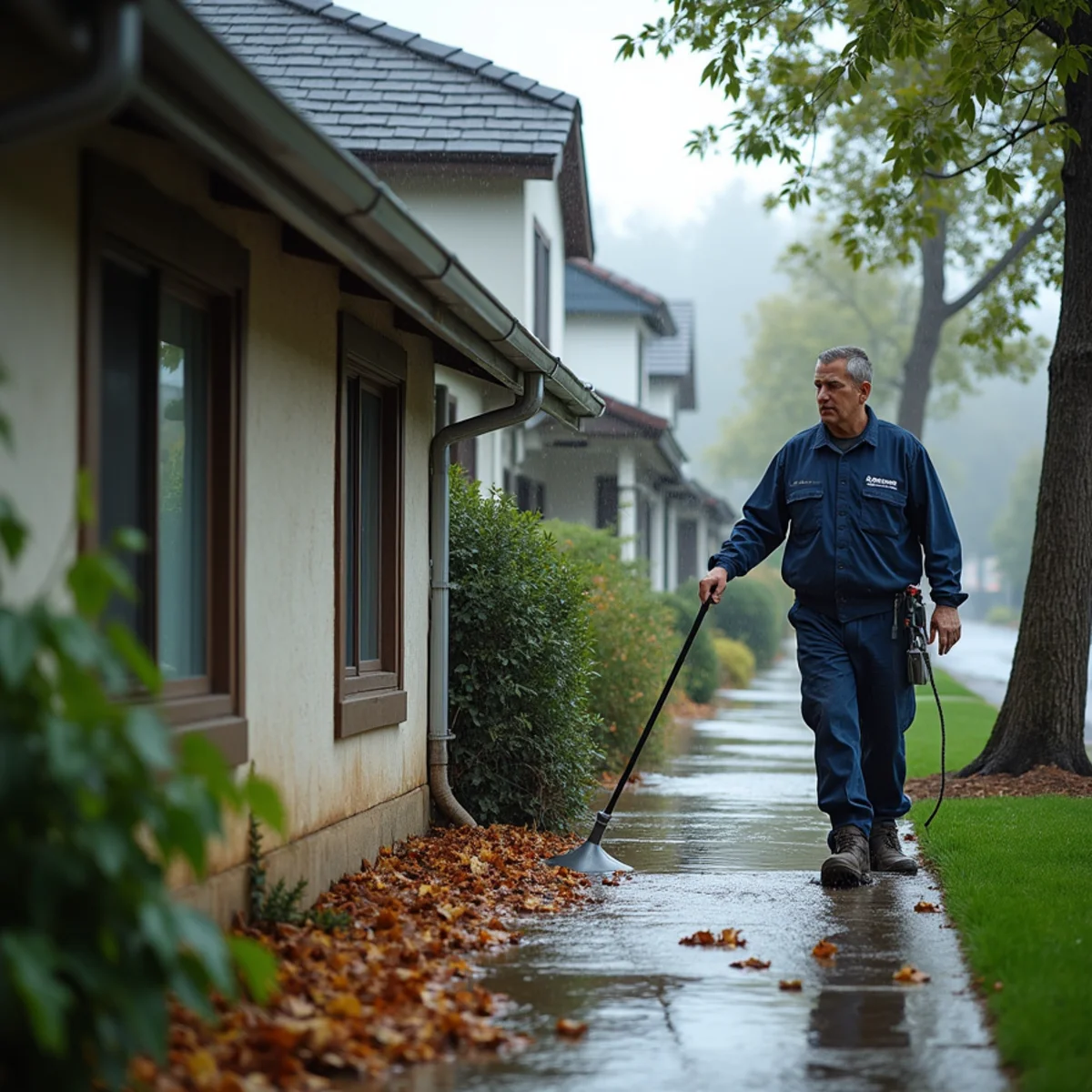
Clear gutters, valleys and area drains twice each winter — Once is not enough on the leafier west-side streets.
Test the sump pump in October — And consider a battery backup, since power tends to fail exactly when the pump is needed.
Photograph your property in good condition before the season — A dated set of photos makes any storm claim substantially easier to substantiate.
Know your shut-offs — Water main, gas and electrical panel — located and labelled now, not found by flashlight in the rain.
24/7 Emergency Response
Dealing with this in Redwood City right now?
We answer 24/7 and can usually be on site within the hour. Extraction, verified drying and the rebuild, documented for your insurer.
- IICRC-certified technicians
- Licensed, bonded & insured
- Direct insurance billing
- 24/7 live answer — no phone trees
550 Allerton St, Redwood City, CA 94063 · Emergency dispatch answered 24/7, including holidays